University of Nairobi
Type of resources
Topics
Keywords
Contact for the resource
Provided by
Years
Formats
Representation types
Update frequencies
-

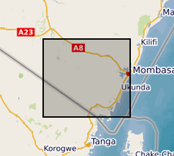
Geological observations during field walks, with coordinates, photographs and descriptions of rocks/geological materials and features at the various stops.
-

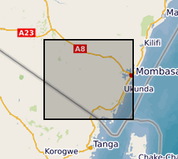
Results of Electrical Resistivity Tomography (ERT) conducted in Kwale County, Kenya December 2015 and June 2016 by University of Nairobi and Water Resources Management Authority as part of the Gro for GooD project (https://upgro.org/consortium/gro-for-good/) to characterize the aquifers in the study area. There were eight transects of length 1.2 to 6km, running W-E and NNE-SSW parallel to coastline. ERT data was analysed using RES2D inversion software. Gro for GooD - Groundwater Risk Management for Growth and Development
-
Gro for GooD VES (Vertical Electrical Soundings) Data, Kwale County, Kenya (NERC grant NE/M008894/1)

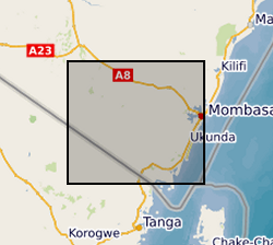
Results of Vertical Electrical Soundings (VES) study conducted in Kwale County, Kenya in July and August 2017 by University of Nairobi and Water Resources Management Authority as part of the Gro for GooD project (https://upgro.org/consortium/gro-for-good/) to determine the existence of deeper aquifers.
-

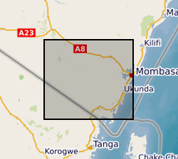
The download .rar file contains a groundwater model of the coastal aquifer in Kwale County, Kenya (ModelMuse Text File) produced by Dr Nuria Ferrer and Dr Albert Folch at the Universitat Politècnica de Catalunya. The model can be used to explore future climate and groundwater abstraction scenarios to provide management recommendations. The download does not include proprietary abstraction data from industry project partners, thus running the model provided here will not reproduce published research findings. The file named”np67IH.bhd” are the initial heads file required to run the model.
 BGS Data Catalogue